翻刻
【右丁 白紙】
【左丁】
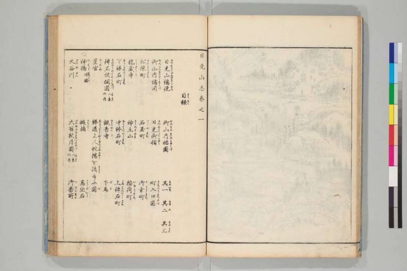
日 光 山 志 巻 之 一
目録(もくろく)
日光山總説(につくわうざんのそうせつ) 御山内略圖(おんさんないのりやくづ) 其一(そのいち) 其二(そのに) 其三(そのさん)
御山内縮図(おんさんないのしゆくづ) 日光御領(につくわうごりやう) 町入口図(まちいりくちのづ)
松原町(まつばらまち) 石屋町(いしやまち) 御幸町(ごかうまち)
龍蔵寺(りうざうじ) 神主山(かうのすやま) 稲荷町(いなりまち)
下鉢石町(しもはついしまち) 中鉢石町(なかはついしまち) 上鉢石町(かみはついしまち)
鉢石炊烟図(はついしのすゐえんのづ)《割書:八景(はつけい)|の内》 観音寺(くわんおんじ) 下馬(げば)
星宮(ほしのみや) 勝道上人蛇橋(しようだうしやうにんじやきやう)を渡(わたり)給ふ図(づ)
○神橋(みはし)《割書:同図(おなじづ)》 假橋(かりばし) 高坐石(かうざいし)
大谷川(だいやがは) 大谷秋月図(だいやのあきのつきのづ)《割書:八景(はつけい)|の内》 御番所(ごばんしよ)
現代語訳
【右丁 白紙】
【左丁】
日光山志 巻の一
目録
日光山総説 御山内略図 その一 その二 その三
御山内縮図 日光御領 町入口図
松原町 石屋町 御幸町
龍蔵寺 神主山 稲荷町
下鉢石町 中鉢石町 上鉢石町
鉢石炊煙図(八景の内) 観音寺 下馬
星宮 勝道上人蛇橋を渡り給う図
○神橋(同図) 仮橋 高座石
大谷川 大谷秋月図(八景の内) 御番所
英語訳
【Right Page: Blank】
【Left Page】
Nikkō-san-shi (Records of Mount Nikkō), Volume One
Table of Contents
General Description of Mount Nikkō Abbreviated Map of the Sacred Mountain Precinct Parts One, Two, Three
Reduced Map of Sacred Mountain Precinct Nikkō Imperial Territory Town Entrance Map
Matsubara-chō (Pine Field District) Ishiya-chō (Stone Shop District) Gokō-chō (Imperial Visit District)
Ryūzō-ji (Temple) Kōnosu-yama (Mountain) Inari-chō (Inari District)
Shimo-hatsuishi-chō (Lower Bowl Stone District) Naka-hatsuishi-chō (Middle Bowl Stone District) Kami-hatsuishi-chō (Upper Bowl Stone District)
Picture of Cooking Smoke at Hatsuishi (from the Eight Views) Kannon-ji (Temple) Geba (Dismounting Place)
Hoshi-no-miya (Star Shrine) Picture of Saint Shōdō Crossing the Serpent Bridge
○ Shimbashi (Sacred Bridge) (same illustration) Temporary Bridge Kōza-ishi (High Seat Stone)
Daiya River Picture of Autumn Moon over Daiya (from the Eight Views) Government Guard Station