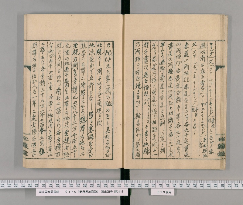
翻刻
キリング)又(ケレーフツ・ケールキリング)《割書:夏至|規》と名け赤
道以南に在る者を(ソイデル・ケールキリング)《割書:南回帰線|ノ義》
又(ステーンボックス ケールキリング)《割書:冬至|規》と名く
赤道の両極PP赤道を去る事各九十度黄道
の両極PP亦黄道を離るゝ事各九十度なり
黄道の両極赤道の両極と相離るゝ事二十三度
半なり是即黄道と赤道と互斜の度と相
若(シ)く赤道の極と黄道の極と相距るの間に一
規を画す是を極規《割書:ポールエルケルス|と云》と名く地球
の両極の所を繞る【(めぐる)】を以て斯名あり第二図
のpCCr及ひ第一図のGGGGのことし其北にあるを
北規とし南にあるを南規とす
地球を分て五部となし以て寒温を定む
熱帯一正帯二冷帯二なり熱帯の地は二
至規の間なり方積凡四百八十二万千百五十
九里の地是に属す正帯の地は至規と極
規との間にあり南北二帯あり各方積百
八十四百【(万の誤りか)】九千四百七里 冷帯は極規内に在て南北
二帯あり各方積三十八万六千七百零五里
熱帯の地に住む人は一年二度大陽を頂上に
現代語訳
キリング)または(ケレーフツ・ケールキリング)《夏至線》と名づけ、赤道以南にあるものを(ソイデル・ケールキリング)《南回帰線の意》または(ステーンボックス・ケールキリング)《冬至線》と名づける。
赤道の両極PPは赤道を去ること各九十度、黄道の両極PPもまた黄道を離れること各九十度である。黄道の両極は赤道の両極と相離れること二十三度半である。これはすなわち黄道と赤道とが互いに斜めになっている度数と同じである。赤道の極と黄道の極と相距る間に一つの円を描く。これを極圏(ポールチルケルスという)と名づける。地球の両極の所を巡るのでこの名がある。第二図のpCCrおよび第一図のGGGGがそれである。その北にあるものを北極圏とし、南にあるものを南極圏とする。
地球を分けて五部となし、寒暖を定める。熱帯一つ、温帯二つ、寒帯二つである。熱帯の地は二つの至線の間である。面積はおよそ四百八十二万千百五十九里の地がこれに属する。温帯の地は至線と極圏との間にある。南北二帯があり、各面積は千八百四十九万四千七里。寒帯は極圏内にあって南北二帯があり、各面積は三十八万六千七百五里。
熱帯の地に住む人は一年に二度太陽を頂上に
英語訳
kiring) or (Kreeft's Keerkring) {summer solstice line}, and that which lies south of the equator is called (Zuider Keerkring) {meaning southern tropic} or (Steenbok's Keerkring) {winter solstice line}.
The two poles PP of the equator are each ninety degrees from the equator, and the two poles PP of the ecliptic are also each ninety degrees from the ecliptic. The poles of the ecliptic are twenty-three and a half degrees away from the poles of the equator. This is the same as the degree of mutual obliquity between the ecliptic and the equator. A circle is drawn between the poles of the equator and the poles of the ecliptic. This is called the polar circle (called Poolcirkels). It has this name because it encircles the locations of both poles of the earth. These are pCCr in the second figure and GGGG in the first figure. That which is in the north is called the northern circle, and that which is in the south is called the southern circle.
The earth is divided into five parts to determine cold and warmth. There is one torrid zone, two temperate zones, and two frigid zones. The land of the torrid zone is between the two tropic lines. An area of approximately 4,821,159 ri of land belongs to this. The land of the temperate zones lies between the tropic lines and the polar circles. There are two zones, north and south, each with an area of 18,494,007 ri. The frigid zones are within the polar circles, with two zones north and south, each with an area of 386,705 ri.
People living in the torrid zone have the sun directly overhead twice a year